
McMinnville Neighbor Record Sources
Records around a McMinnville block describe properties and public roles, not a complete set of neighbors. A county property account is tied to a searched address. Its linked GIS map gives spatial context for nearby parcels. Clerk recordings can connect a parcel to a legal description and a recorded party. Historical sources can place a person at an address in a particular year. Each source must be read for what it actually proves.
| Source | What It Shows About a Block | Access |
|---|---|---|
| County Property Search | Separate tax-account and general-property information for a searched address | Free address or account search; not an owner-name or household directory |
| Account-linked GIS | Spatial relation between a searched property and nearby mapped parcels | Open the GIS link after an account lookup; specific tools and layers were not verified |
| Clerk recordings and plats | Recorded party, parcel history, subdivision, and legal-description relation | Digital Research Room or Clerk counter; address alone is not a legal description |
| City historic-resource inventory | Listed historic site address, resource name, and resource number | City planning materials; identifies a structure resource, not a resident |
| Voter file | Statutorily public fields in an authorized voter-list request | County or State request, exclusions and use limits apply |
| Museum holdings | Historical directories, obituaries, title abstracts, and census indexes | Appointment or research request; historical and collection-specific |
A parcel record does not prove who occupies a place. It may document a tax account, a map location, or a party to a recorded document. It does not identify unrecorded occupants, protected voters, utility customers, delivery customers, or DMV records. Keep the address, account, document date, and legal description separate for each property.
Property research and a consumer neighbor-lookup category serve different purposes. Only the County, Clerk, elections office, court, or archive can confirm the scope and date of its own record. A compiled result can be stale, mismatched, or silent about the source date, so it does not replace a custodian’s record or make a private-household claim reliable.
| Source type | Useful role | Boundary |
|---|---|---|
| Official property, recording, election, or archive source | Check a defined public record with its keeper and date | Each source covers only its stated record type and lawful access level |
| Consumer neighbor-lookup category | Not cited or recommended as an official source | Can be stale or mismatched and cannot prove occupancy or override protected records |
Mapping McMinnville Neighbors by Parcel
The verified adjacent-parcel method is conceptual rather than a promised button in a map. Yamhill County says the property-account result links to GIS mapping, and McMinnville’s GIS page is an open-data and mapping hub. The research did not inspect a live county layer list, radius control, buffer tool, or select-adjacent feature. Treat the map as a way to orient an address, then return to custodial records for what a parcel record means.
- Search the known address in the County Property Search. The form accepts a street address or account number, with optional city, state, and ZIP fields.
- Record the account number, plat or GIS clue, and the exact address format. Follow the account’s GIS link to visually identify nearby mapped parcels.
- For each adjacent address or parcel clue, repeat the separate address or account search. Do not assume a map boundary establishes ownership or occupancy.
- When a land-history question remains, use the plat or legal description with the Clerk’s recording index or public research area. Reconcile lot, block, subdivision, partition, or earlier recording references.
The County Clerk says a legal description is not a street address or tax lot. A subdivision name with lot and block, a metes-and-bounds description, a partition plat, or an earlier recording reference can provide the continuity a street address cannot. For an entire street rather than one block, use the McMinnville street directory workflow.
Property Search publishes tax statements since 2009, prior-year tax payments, current account balance, sales and general property information, a GIS mapping link, plat map, and historical property-value graph. The published description does not verify an owner mailing address, exemption, sketch, acreage, deed number, or transfer-party field for every account. Do not supply missing fields from a map or infer that a mailing address means occupancy.
McMinnville Legal Description Continuity
For a block history, a legal description is the bridge between a current address and recorded land documents. The County Clerk says it is not a street address or tax lot number. Accepted forms include a subdivision name with lot and block, metes and bounds using township, range, and section, a partition-plat recording and parcel number, or a reference to an older recording number or book and page.
Start with the assessor account, plat, and GIS clues, then use the legal description in the Clerk’s Digital Research Room or public research area. If a subdivision, partition, or boundary adjustment changed the description, stop and reconcile that recording before continuing to a prior transfer. A common street number does not carry the same continuity as the legal-description chain, and an address alone cannot identify every adjacent property relationship.
McMinnville Voter Lists and Blocks
Oregon My Vote is for an elector to check their own registration, ballot status, or update information using name and date of birth. It is not a browser for people on a street. The separate voter-list route is statutory. The Secretary of State says any person can request electronic statewide or less-than-statewide data, while non-electronic local formats go through the county elections official. A McMinnville or Yamhill request belongs with County Elections at the Clerk’s office. Oregon’s voter-list request page explains the legal request route and its delivery process.
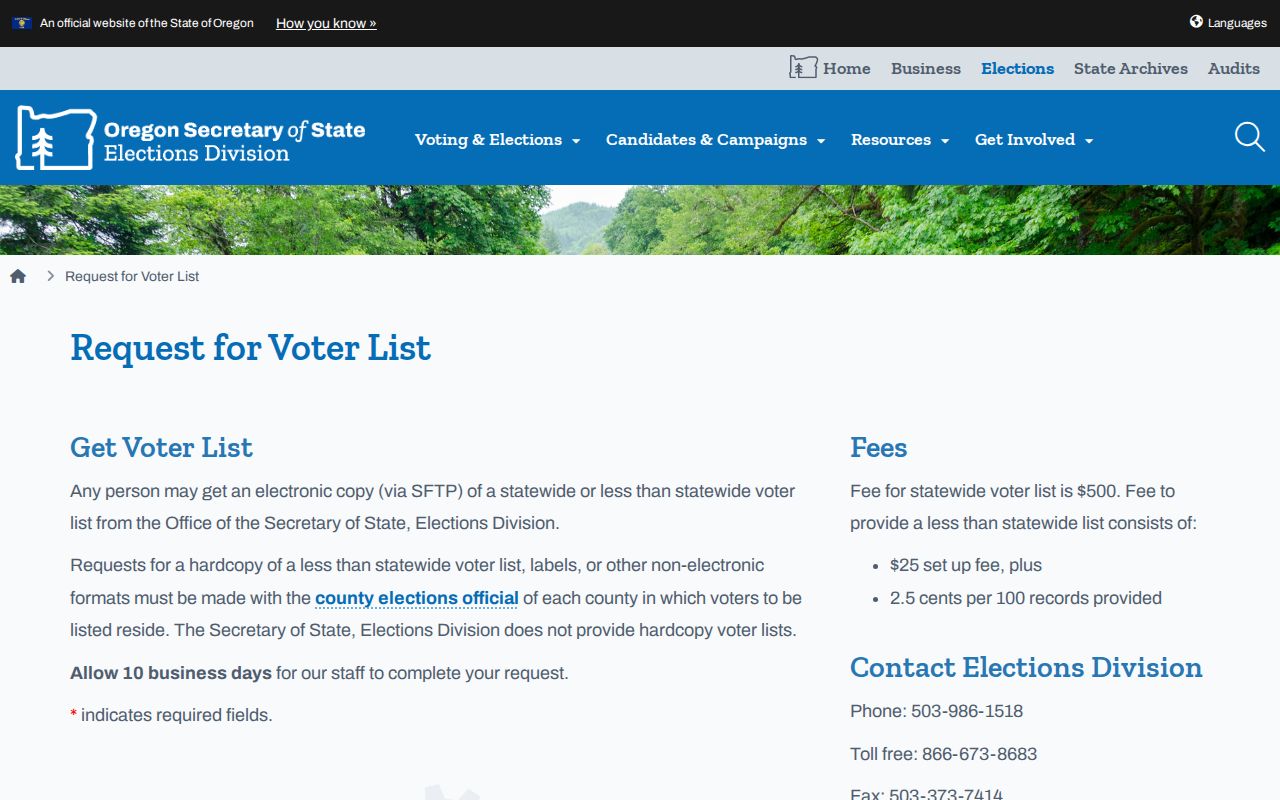
ORS 247.945 directs the county clerk to provide elector lists under the conditions in law, subject to exclusions. The State lists $500 for statewide electronic output and a $25 setup charge plus 2.5 cents per 100 records for a less-than-statewide list. It asks requesters to allow 10 business days. State the intended geography, delivery format, requested fields, date needed, and lawful statutory purpose when contacting elections staff. Oregon Revised Statutes chapter 247 is the controlling source for public voter-file fields and use limits.
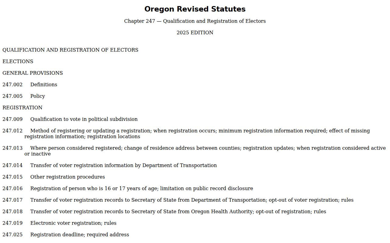
ORS 247.948 identifies public registration fields while withholding birth month and day, Social Security number, driver-license number, signature, and protected data. Vote history reports whether someone voted in requested elections, never how that person voted. ORS 247.955 restricts commercial use of elector lists. These rules prevent a voter file from becoming a casual neighborhood browser.
McMinnville Civic Contacts, Not Rosters
No official neighborhood-association umbrella, HOA roster, congregation roster, block-watch list, or neighborhood membership directory was located for McMinnville. That absence matters. City pages for boards, commissions, public meetings, ward boundaries, and staff contacts identify civic participation and public contact routes, not all people living in an area. McMinnville’s boards and commissions page is a civic-contact resource.
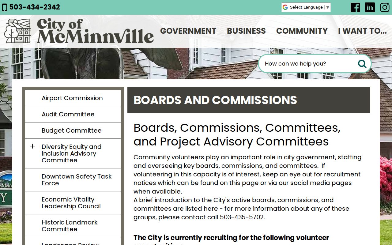
Planning Commission members must live in the ward they represent. The Urban Renewal Advisory Committee includes representation associated with the McMinnville Downtown Association, McMinnville Water and Light, and City Council. Those facts describe public roles, not nearby residents or a directory of a block.
| Public civic source | Legitimate use | Not a substitute for |
|---|---|---|
| Boards and commissions | Public meeting material, named civic role, and City contact route | Neighborhood or HOA membership roster |
| Ward map | Municipal ward geography for a selected address | List of residents in a ward |
| City staff directory | Public contacts for City departments and services | Private contact information |
McMinnville Block History Sources
For an older block, ask a different question: which historical resource is tied to this address? McMinnville’s historic-resource inventory can list a site address, historic name where known, and resource number. City historical materials link Sanborn maps and preservation documents. Sanborn sheets for McMinnville are documented for 1884, 1889, 1892, and 1902. They can show building footprint, use, and construction context, not occupants.
The Ruth Stoller Research Library holds city and telephone directories, obituaries, title abstracts, census indexes, probate indexes, and other local-history material. Its exact reverse or criss-cross directory run is not published online, so ask the research team whether a particular volume has an alphabetical, street, numerical, or telephone section. The library’s current construction closure requires an appointment arrangement rather than a walk-in assumption.
Pair an address-listed person in a dated directory with a deed or title abstract, an obituary, a probate index, and a Sanborn map as appropriate. A directory entry may locate a person in the publication year. A recorded deed identifies a transaction party. Neither establishes every household member or a continuous history without a date-by-date check.
Yamhill County records maintained by the Clerk can trace real-property ownership to the early 1850s, but the County did not publish a separate online-index starting year. Older work may need the free public research area, a focused copy request, or help from the museum research team. If a legal description changes because of a subdivision, partition, or boundary adjustment, resolve that change in the plat and recording trail before connecting it to an earlier street number.
McMinnville Recording Alert Limits
Yamhill County’s Property Recording Alert Service is a free email-alert option for documents newly recorded under a monitored name. It provides a link to the document information and works only for recordings made after enrollment in Yamhill County. It can be useful when a person wants notice about their own monitored name and then needs to check the recorded-document information with the Clerk.
The County is clear that the service is not fraud prevention. It cannot flag a property or decide whether a properly recordable document is valid. It is also not a neighbor-survey tool, a way to discover who lives around an address, or proof that a filing is fraudulent. Verify an unexpected recorded-document notice through the Clerk or the official Recording page rather than relying on an alert alone.
McMinnville Neighbors Privacy Limits
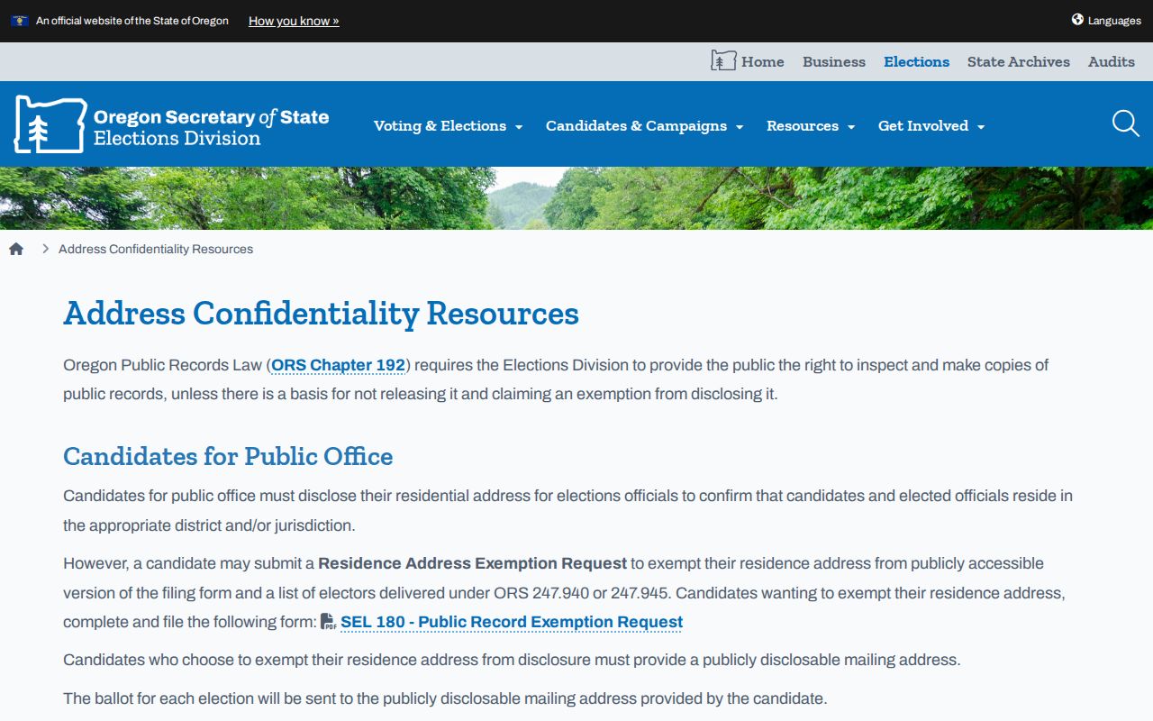
Oregon’s Address Confidentiality Program helps survivors of domestic violence, sexual assault, stalking, or human trafficking shield a physical address through a substitute-address and mail-forwarding service. Participating voters are excluded from voter lists. A Yamhill voter can also ask County Elections about SEL 550, the state form for seeking a residence-address exemption. A missing address does not show that someone moved or is unconnected to a place. Oregon consumer privacy resources explain the state’s data-broker rule and published opt-out procedures.
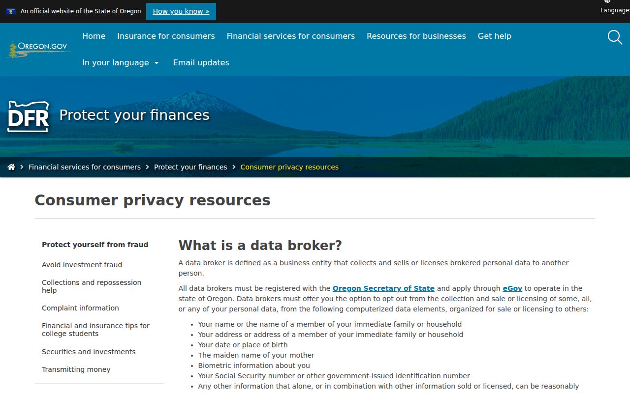
An opt-out applies to a broker’s own collection, sale, or licensing activity. It does not erase a separate government record. A factual error belongs with the original custodian, such as Assessment & Taxation, the County Clerk, County Elections, a court clerk, or Oregon Health Authority. Oregon’s voter address-confidentiality information describes the protection route for eligible voters.
Unrecorded occupants, utility and delivery records, DMV personal information, and protected addresses remain outside a lawful block search. Public records are not permission to stalk, harass, impersonate, threaten, or expose protected information. The County’s Property Recording Alert Service can monitor new recordings under a chosen name after enrollment, but the County says it is an alert service, not fraud prevention and not a way to survey neighbors.