
Search McMinnville Street Directory
Street-by-street research works best when each stop has a clear role. Start with the full address, including any NE, NW, SE, or SW prefix. The county property account supplies the first parcel and plat clues. That account can lead to GIS context, while the Clerk’s records connect a legal description to recorded instruments. A historical directory or census index can then add a dated household lead. None of those sources is a full list of everyone at an address, so keep the date and source beside each finding.
- Use the Yamhill County Property Search with the complete street address or account number, then save the returned account, plat, and GIS clues.
- Use the account-linked map and the City GIS and Mapping hub to understand parcel placement, while checking map details with the county record custodian.
- Translate the plat or account evidence into the legal description the Yamhill County Clerk needs for recorded-land research.
- Trace recorded parties through the Digital Research Room or the Clerk’s free public research area, preserving the document type, date, recording reference, and legal description.
- For an older address, ask the Ruth Stoller Research Library whether the needed city, telephone, or street section exists for that year, then compare it with census, obituary, or title-abstract material.
A voter list does not replace those steps. Oregon My Vote is an elector’s self-service tool, not a public street browser. Broader voter-file requests use a separate statutory route through the Secretary of State or County Clerk and exclude protected information.
McMinnville Street Directory Form
The county’s address form is the practical start for a McMinnville by-address search. It does not offer an owner-name field. The address path requires Street Address, but the other location fields can narrow an already known address. The portal’s own examples permit a street name, a full address, or a percent-sign wildcard between number and street name. Use the record returned by that form as a property-account lead, not proof of who is present at the address.
| Property Search field | How the county describes it |
|---|---|
| Account No. | Optional account-number path; two characters are the stated minimum. |
| Alternate Account No. | Optional; the general instruction says fields normally need three characters. |
| Street Address | Required for the address path. Examples include Main, 123 Main St, and 123% Main. |
| City, State/Province, Zip/Postal Code | Optional filters used with the street address, not a ZIP-only result list. |
See the county’s property account information before beginning an address search.
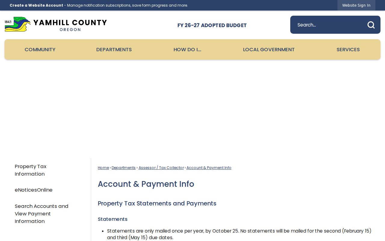
The account information explains why this address trail begins with the parcel record and can continue through tax statements, plat material, and the GIS link.
Assessment & Taxation is the fallback when an address or account question does not resolve online. Its office is at 400 NE Baker Street, Suite 201, and the published number is 503-434-7521. The listed public hours are 8:30 a.m. to 4:00 p.m., with a noon to 1:00 p.m. closure.
Map a McMinnville Street Parcel
Mapping is a navigation step, not an ownership certificate. A property-account result links to GIS mapping, and the City’s mapping hub provides its own open-data and map entry points. Compare the map’s parcel position with the account and plat. Then return to Assessment & Taxation or the Clerk when the answer depends on a recorded boundary or title document. The City says it does not guarantee map content, sequence, accuracy, timeliness, or completeness.
The McMinnville GIS and Mapping hub is the official municipal mapping source.
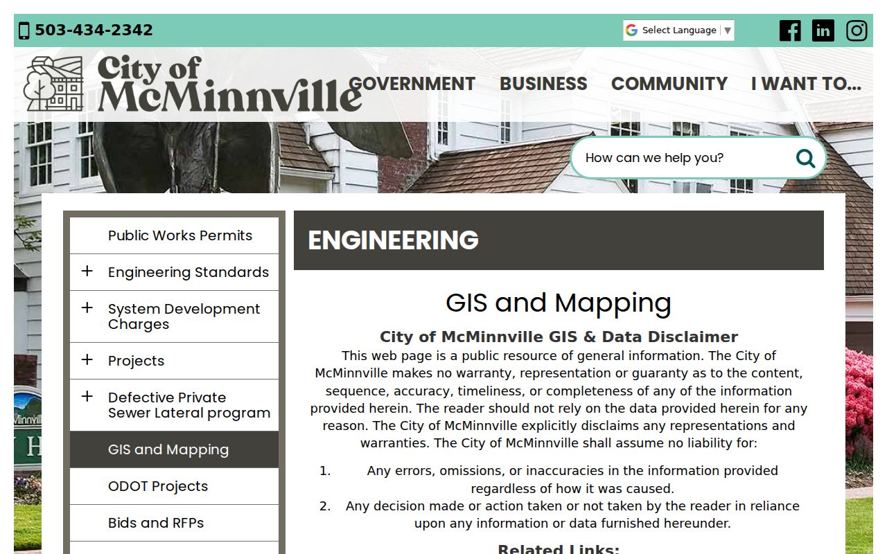
For an address search, the image supports the map-to-parcel step, while the county account and Clerk records remain the sources for custodial property evidence.
- Parcel
- A mapped piece of land used as a property-account reference. Its map line alone does not certify title.
- Situs address
- The physical street address used by the property search and municipal maps.
- Plat
- A recorded map or subdivision reference that can help connect an account to a legal description.
- Legal description
- The recorded land identifier, such as lot and block or metes and bounds, used to keep the deed trail continuous.
Note: Preserve directional prefixes and the original street wording because the research found no verified citywide renumbering or renamed-street timeline.
McMinnville Street Address Forms Matter
Postal, municipal, and recorded-land geography overlap without being the same thing. The only McMinnville ZIP verified in this research is 97128, but a ZIP is a postal delivery area rather than a City-limit or parcel-boundary decision. Start with the USPS ZIP Code Lookup to preserve the standardized mailing form. Then use the county account for parcel research and the City’s ward or planning tools for municipal questions.
Retain every directional prefix, suffix, unit detail, and original historical spelling. A present-day address can be different from a plat reference, rural route, or older book-and-page citation. The research found no documented citywide street renumbering, ZIP realignment, or annexation year to apply as a shortcut. Compare Sanborn sheets, plats, historic-resource material, and directory volumes before deciding that two address strings refer to the same place.
For an ambiguous record, Assessment & Taxation can explain account procedure at 503-434-7521, while City Planning can address development or jurisdiction questions at 503-434-7311. Those custodian contacts are more reliable than a general map match.
McMinnville Street Directory Records
Several custodians hold different portions of an address trail. The useful question is not whether one database names a whole street. It is which public record can document a parcel, a recorded transfer, a structure change, or a dated historical association. This McMinnville address-record coverage list keeps those roles separate and shows the online, counter, and request channels documented by the agencies.
| Address-keyed source | Custodian | What it can show | Access channel |
|---|---|---|---|
| Property tax account | Assessment & Taxation | Tax statements since 2009, sales/general property material, plat, value history, and GIS link | Address or account portal, telephone, counter, or county request route |
| GIS and parcel context | County account link and City GIS hub | Mapped property context and navigation | Account-linked map and city mapping hub |
| Recorded land instruments | Yamhill County Clerk | Deeds, mortgages, liens, plats, subdivisions, and legal-description references | Digital Research Room, free office research, or Clerk copy request |
| Building and planning files | City Building/Planning, County for electrical | Permit or project chronology and historic planning material | ePermitting, department contact, or precise City request |
| Historic-resource listing | City Planning/Historic Preservation | Site address, historic name where listed, and resource number | City historical materials and planning records |
County public-records requests must be written to the relevant department. The county may charge actual costs for search, review, redaction, certification, copying, or mailing, and may give an estimate or require a deposit. That channel reaches existing nonexempt records, not a newly created street roster.
McMinnville Street Permit Trail
Permit and planning material can help date work at a place. The City Building Division provides ePermitting, inspection, forms, reports, and public-records-request channels. Electrical permits and inspections inside city limits are handled by the county, so an electrical question belongs with County Planning & Development. No public city address-history result screen was verified, which makes a department contact or a specific City request the honest fallback for a known file.
Use the McMinnville Building Division for the City-side permit process.
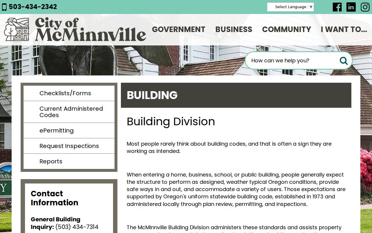
The Building Division is useful for a by-street project when the goal is a documented structure or project date, not a claim about every person connected to the address.
A historic-resource inventory entry can also carry a site address, historic name, and resource number. It offers building context. Pair it with a recorded or archival source before drawing conclusions about an address history.
McMinnville Street Deed Research
The Clerk cannot find an owner from only a street address because its recorded land documents use legal descriptions. Once the property account and plat identify that bridge, search recorded deeds, mortgages, liens, plats, or subdivisions by the party and document references that the chain provides. The county says its maintained ownership records reach the early 1850s, but it does not publish an online-index starting year. Older work may therefore require the public research area and a copy request rather than a web-only search.
The Yamhill County Recording page describes the Clerk’s recorded-property records and their research channels.
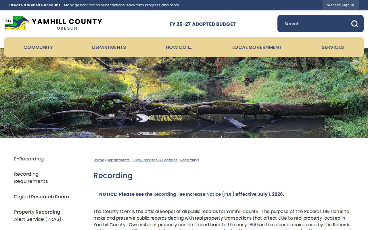
The recording source supports a recorded-land trail only after the address has been converted into the legal-description or document clues the Clerk requires.
The Yamhill County Digital Research Room is the online entry point for recorded documents.
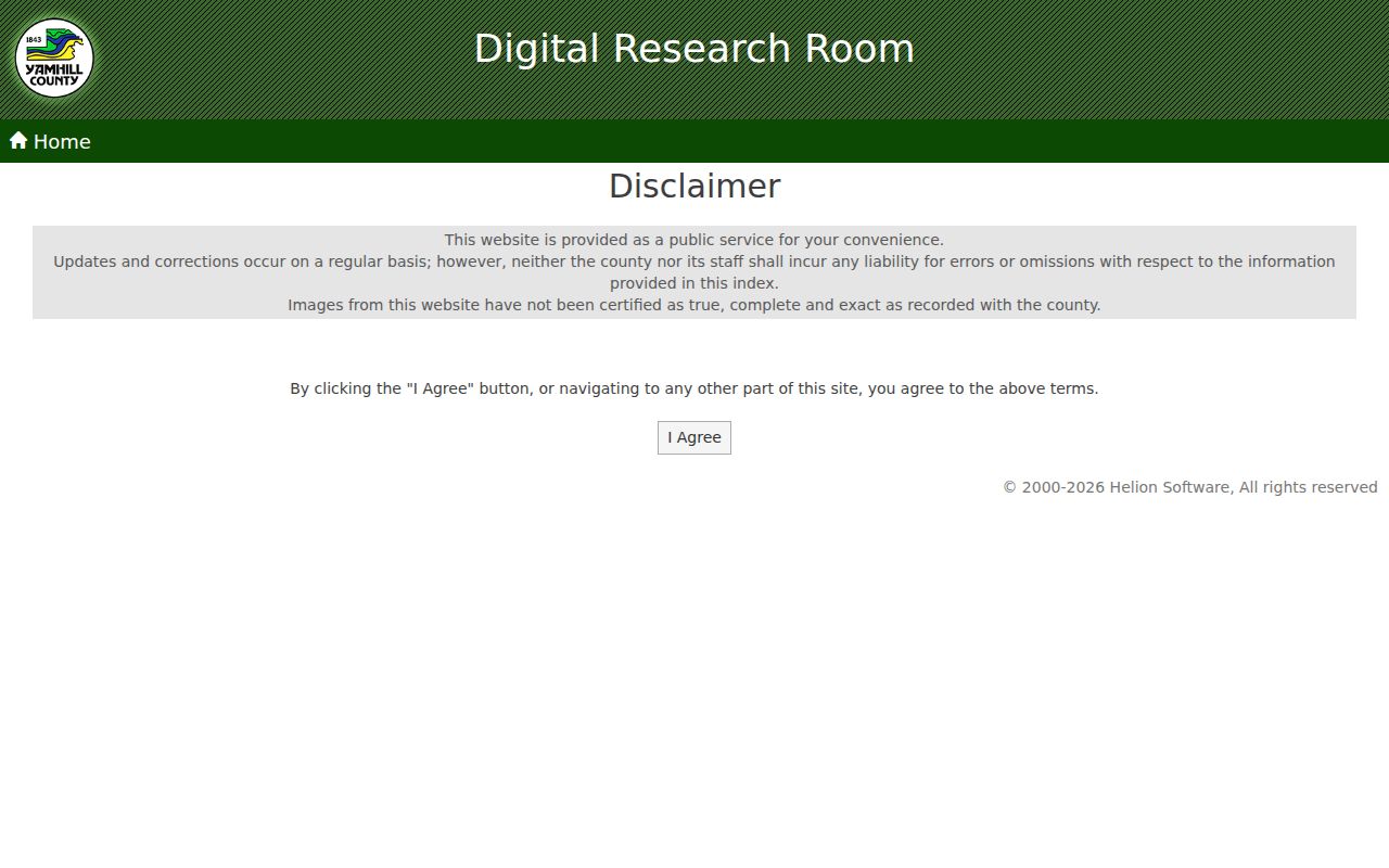
The Digital Research Room warns that updates and corrections occur regularly and that web images are not certified as true, complete, and exact. Use the Clerk for a certified copy or for free in-office document research.
Note: The Clerk’s July 1, 2026 recording schedule lists instrument-recording charges, while copy and certification costs should be confirmed with the Clerk’s current fee schedule or counter.
McMinnville Street Listings in Old Books
The Ruth Stoller Research Library holds city and telephone directories, property title abstracts, obituary files, census indexes, and other local-history material. Its published webpage does not enumerate the directory years, publishers, or a complete reverse or criss-cross run. Ask the research team whether a selected year has an alphabetical, numerical, or street section before relying on it for a McMinnville by-street historical lead.
As inspected in 2026, the library was closed to walk-ins through August because of construction, while appointments could be arranged around construction conditions. The appointment route is the proper access channel for an exact volume. The documented 1915 regional ownership directory and 1972 McMinnville–Newberg directory show local directory eras, but they do not prove which volumes are on the shelf.
Sanborn sheets for 1884, 1889, 1892, and 1902 can test whether a structure existed in a given era. They show building footprint, use, and construction clues, not occupants. That distinction is especially useful when a directory line, deed party, and map do not line up neatly.
McMinnville Recording Alert Limits
For a current property concern, Yamhill County offers the free Property Recording Alert Service. It sends an email when a new document is recorded under a monitored name and links to document information. The service works only after enrollment and only for Yamhill County records. It is a useful prompt to inspect an instrument, not a street-by-street monitoring tool.
Review the Yamhill Property Recording Alert Service before enrolling.
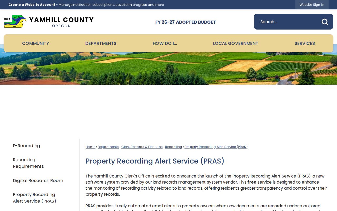
The County states that PRAS is not fraud prevention and that the Clerk cannot flag a property or decide whether a properly recordable document is authentic. Verify an unexpected filing with the Clerk at 503-434-7518.
McMinnville Street Directory Privacy Boundary
A McMinnville street directory search cannot reveal every household member, people without a recorded property interest, protected voter addresses, DMV personal-address data, or utility and delivery-customer records. A deed party is evidence of a property transaction. A directory line is evidence tied to its publication date. A map parcel is a geographic reference. None establishes that every person at an address is identified.
Oregon’s authorized voter-list route has exclusions, and voter files do not disclose ballot choices. Address Confidentiality Program participants and other protected voters are excluded. If a source appears incomplete, that gap may reflect a protection, an exemption, or the source’s limited purpose rather than a reason to search for a private address.
Lawful use. Use McMinnville address records for personal, lawful research such as family or property history. Do not use them to stalk, harass, threaten, or expose protected information.