
McMinnville ZIP Code Coverage
Only one McMinnville ZIP is verified in the official sources reviewed for this project: 97128. USPS's Oregon route-change material identifies McMinnville 97128, and Oregon state-agency material groups McMinnville under the same ZIP. That is enough to validate the postal area for an individual address, but not enough to claim a complete boundary polygon, an additional city ZIP, a post-office-only code, a unique institutional code, or a ZIP-level population. The ZIP code directory therefore leads with the published limit rather than filling the table with unverified service areas.
| ZIP | Areas Covered | Post Office | Notes |
|---|---|---|---|
| 97128 | McMinnville delivery and postal area | USPS identifies McMinnville 97128; verify the individual address with USPS. | The only McMinnville ZIP verified by official sources in this research. Postal delivery geography can differ from City limits. |
No official source located a complete USPS boundary map or a second ZIP serving an address inside incorporated McMinnville. The 2026 USPS item about 97129 concerns Hillsboro, not McMinnville. For a deliverable address and standardized form, begin with the USPS lookup process rather than a third-party map.
The USPS postal-address guidance explains the postal role used for this verification.
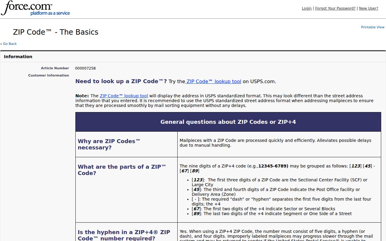
Postal formatting is the first check for a known address; it does not establish a parcel owner, a ward, or City jurisdiction.
McMinnville ZIP Code City Limits
USPS delivery geography and City or County government geography serve different roles. A mailing label that says McMinnville, OR 97128 can help locate an address, but it cannot by itself establish that the parcel falls inside City limits, a City ward, a county service area, a school boundary, or the coverage of a historical directory. For municipal geography, use the City ward map. For a parcel, use the County Property Search and its account-linked GIS. The McMinnville GIS and Mapping hub is a navigation tool and expressly disclaims warranty for accuracy, timeliness, completeness, and reliance.
The ward map is address-led. Enter numbers only, then choose the full address from the drop-down. It confirms ward geography, not who lives there. A boundary question may need three confirmations: USPS for delivery format, Assessment & Taxation for account procedure, and City Planning for development or City-jurisdiction questions. Assessment & Taxation is reached at 503-434-7521; Planning is reached at 503-434-7311.
See the City's interactive ward lookup map for the municipal address step.
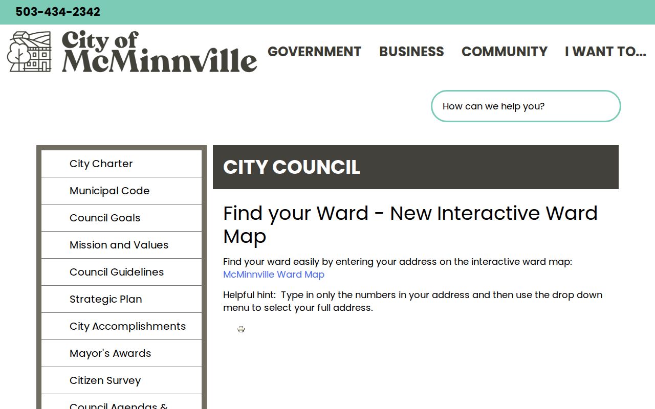
The ward tool is a useful contrast with a ZIP: both begin with an address, but one answers municipal geography and the other supports postal delivery.
Note: A postal label is a locator, not proof of City jurisdiction, property ownership, voting district, or historical-directory coverage.
McMinnville ZIP Field in Property Search
Yamhill County Property Search accepts a ZIP field, but it is a ZIP-capable address search, not a ZIP-wide property results browser. Its public interface starts with an account number or a property address. For the address path, Street Address is required and City, State/Province, and Zip/Postal Code are optional. The County does not document a ZIP-only result set, and it does not expose an owner-name search on the public landing form. Use 97128 to narrow a known street address, not to generate a list of residents.
| Property Search field | Type | Required | Verified format or limit |
|---|---|---|---|
| Account No. | Text | No | Minimum two characters. |
| Alternate Account No. | Text | No | General guidance says fields usually need three characters. |
| Street Address | Text | Yes for address path | Examples: Main, 123 Main St, and 123% Main. |
| City | Text | No | Explicitly optional. |
| State/Province | Text | No | Explicitly optional. |
| Zip/Postal Code | Text | No | Explicitly optional and used with the street address. |
The County says returned account material can include tax statements since 2009, sales and general property information, a GIS mapping link, a plat map, and a historical value graph. Those items establish a property-account route, not a household roster.
Find a McMinnville ZIP Address
A useful ZIP-based workflow starts with one complete address. The local sources do not offer a verified ZIP-wide people search. Oregon My Vote is also not a ZIP browser; it is an elector self-service tool that uses name and date of birth. A voter-list request is a separate statutory route with exclusions, fees, and use limits. For an address question, stay with the postal, County, and City sequence below rather than promising that any local portal will return everyone within 97128.
- Check the full address with USPS and retain its standardized postal form.
- Enter the street address in Yamhill County Property Search, adding City and ZIP only as optional narrowers.
- Save the returned assessment account, plat, and GIS link when the property record matches the address.
- Use the ward map for municipal geography, or ask the named custodian when the address remains ambiguous.
Once a ZIP has narrowed a known address, the McMinnville street directory explains the address-to-parcel and recorded-land sequence. Do not reverse that logic by using the ZIP as a substitute for a street address or legal description.
Note: My Vote verifies an elector's own registration information; it is not a public resident browser organized by ZIP.
McMinnville ZIP Code Record Routes
An address with a McMinnville postal label may still require a City records route rather than a County parcel search. The City Recorder protects and preserves City records, maintains the City Code and ordinance codification, serves as City Council clerk, and assists with public-records requests. For an existing, nonexempt City record, submit a written request that identifies the record instead of asking staff to create a report. The City says to expect an acknowledgment or completion response within five business days under ORS 192.324. Inspection can be by appointment, with originals kept in City custody; a cost estimate and deposit apply when the estimate reaches $25 or more.
See the McMinnville City Recorder records-request guidance when an address question concerns a City planning file, meeting packet, permit, code-compliance material, or City correspondence.
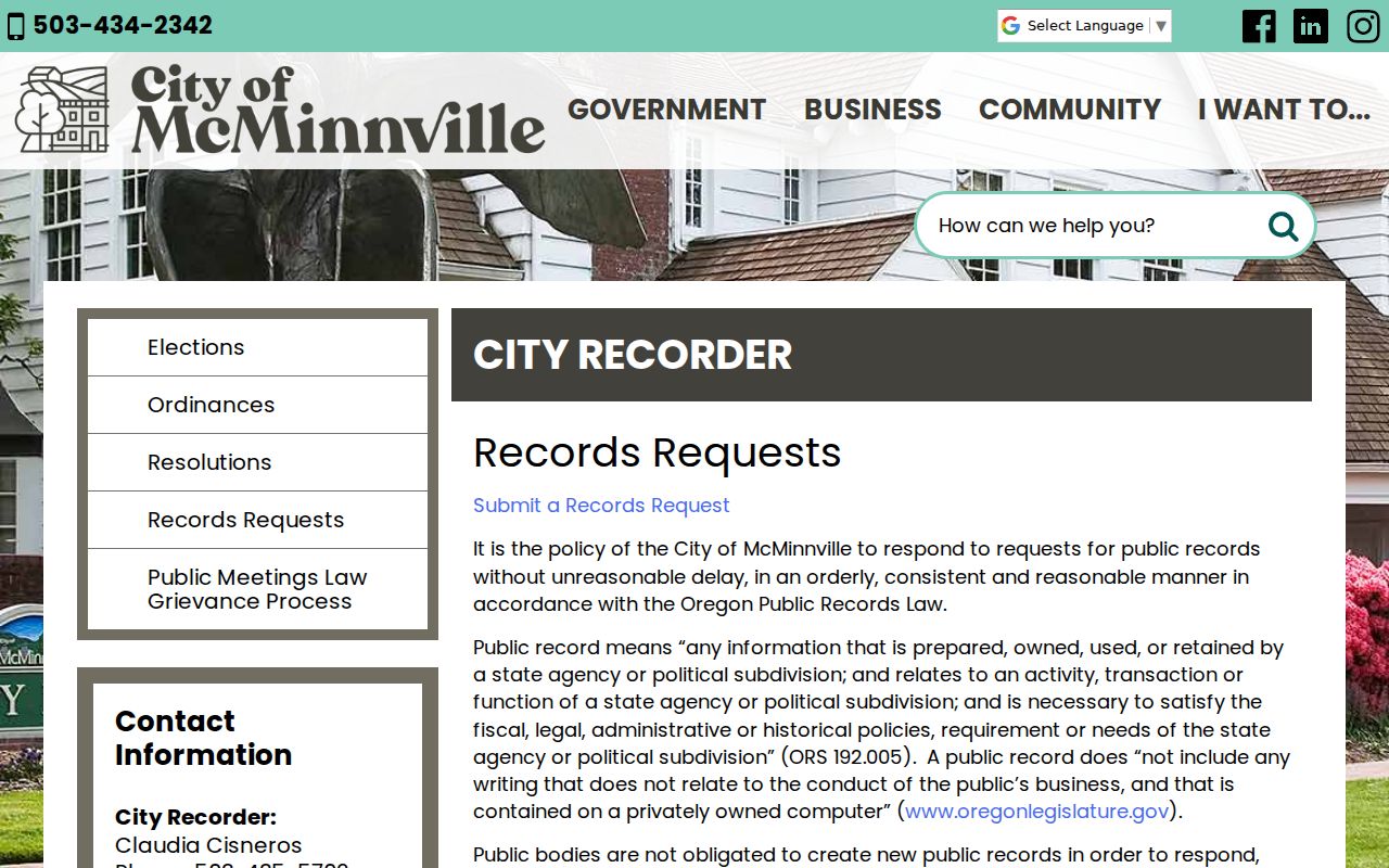
The City route helps identify the custodian for City material; it does not turn a ZIP into a City-limit finding.
For recorded land instruments, the Yamhill County Clerk is the separate keeper. The Clerk's office at 414 NE Evans Street records real-property instruments and says it cannot locate an owner from only a street address. A current address must first be translated through the assessor account, plat, or legal-description evidence before Clerk research. The County's records function and City Recorder function should not be treated as the same office.
See the Yamhill County Clerk, Records and Elections page for the County custodian route.
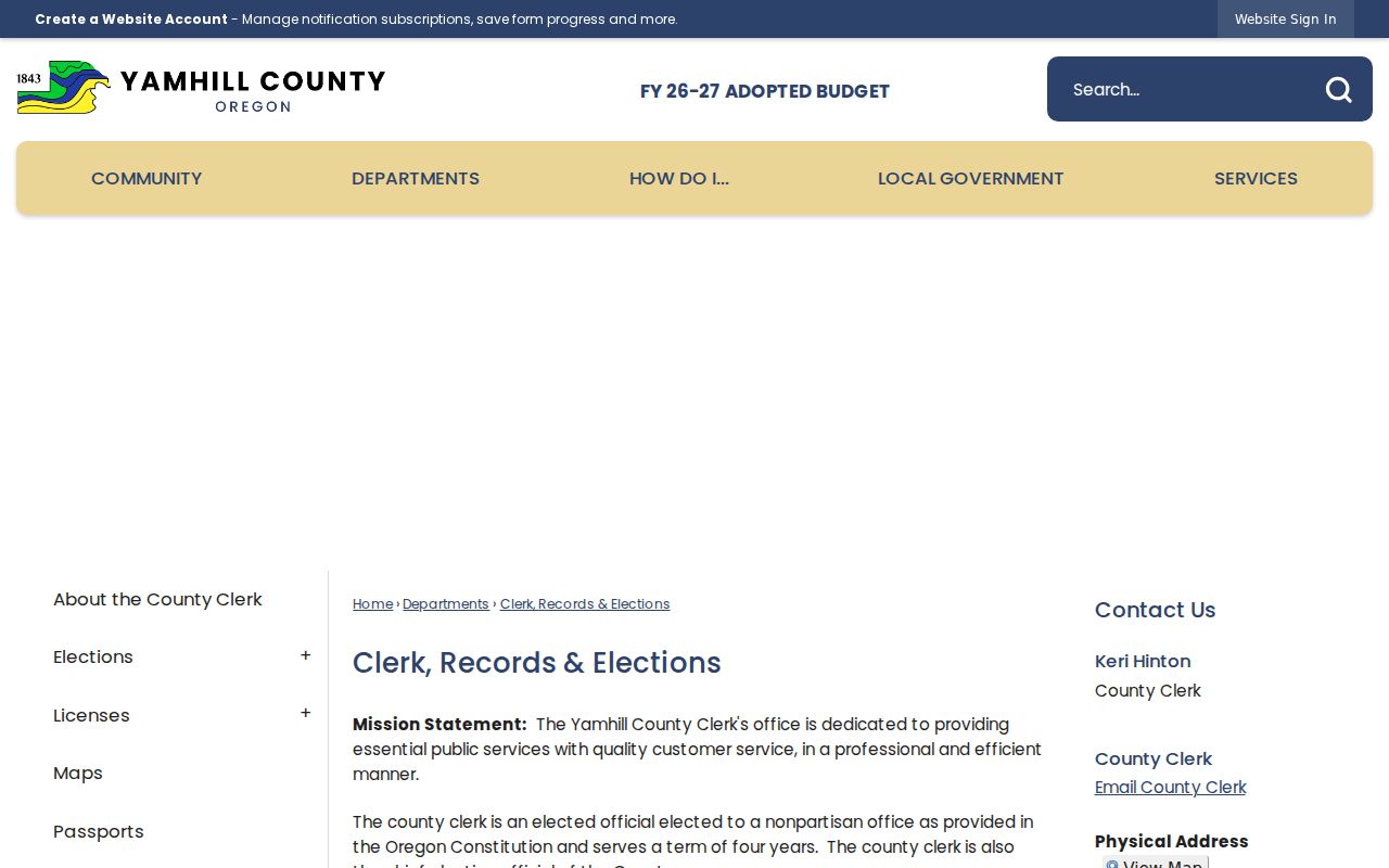
The Clerk's recorded-document trail depends on legal-description continuity, which a postal ZIP cannot supply.
McMinnville ZIPs Do Not Set Jurisdiction
A ZIP does not decide which court holds a case. McMinnville Municipal Court is a City function, separate from Yamhill County Circuit Court. It handles local traffic and misdemeanor administration through its City Hall counter; its public pages do not provide a broad internet name index. A person seeking a municipal court record should contact the counter with the case or citation details already held, or party information precise enough for staff to route the request. Protected material and records held by another court require the proper custodian.
The McMinnville Municipal Court contact page lists the City court's counter, telephone, email, and in-person availability.
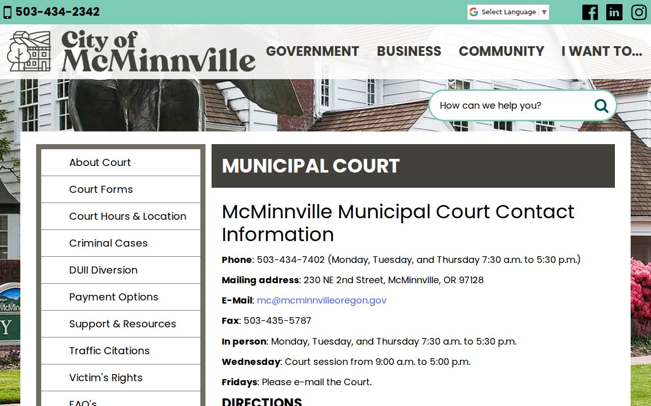
The court contact route is based on case custody and details, not the postal label attached to a street address.
McMinnville ZIPs in Old Sources
Modern postal labels should not silently replace the way an older source printed an address. The verified 1915 regional ownership-directory citation and the 1972 McMinnville–Newberg directory citation predate current web interfaces and may organize places differently from a contemporary postal filter. At the museum, city and telephone directories should be searched by their own printed wording. Early deed work uses lot and block, metes and bounds, partition references, or book and page references. A legal description is not merely a street address or tax-lot number.
Preserve every directional prefix, street suffix, unit designation, and city form from the original. The City historical-resource inventory, planning files, Sanborn sheets, title abstracts, and directory volumes can then be compared before calling a difference a renumbering. The research found no documented McMinnville ZIP realignment, citywide renumbering, renamed-street project, E911 readdressing, or annexation year. Date the historical source to its own era and use USPS only to verify the contemporary form.
McMinnville ZIP Boundaries Explained
The City is larger than any single record label. Census QuickFacts estimates 34,647 McMinnville residents as of July 1, 2025 across 10.58 square miles of land, while the 2020 Census count was 34,319. Those figures describe the incorporated city, not a postal delivery total. They are useful scale for the service area, but they do not convert a ZIP into a City boundary or establish that any one public record covers everyone in McMinnville. This ZIP code directory keeps the postal question separate from resident, parcel, ward, and City records questions.
- ZIP vs ZIP+4
- A ZIP identifies a postal delivery area; ZIP+4 adds a more specific delivery segment. Verify the full form with USPS.
- PO-box ZIP
- A ZIP used for post-office boxes. No McMinnville PO-box-only ZIP was verified in this research.
- Unique ZIP
- A ZIP assigned to a single organization. No McMinnville unique ZIP was verified in this research.
- Carrier route
- A postal delivery sequence used to organize delivery. It is not a City boundary or a parcel identifier.
See Census QuickFacts for McMinnville for the City-wide figures used here.
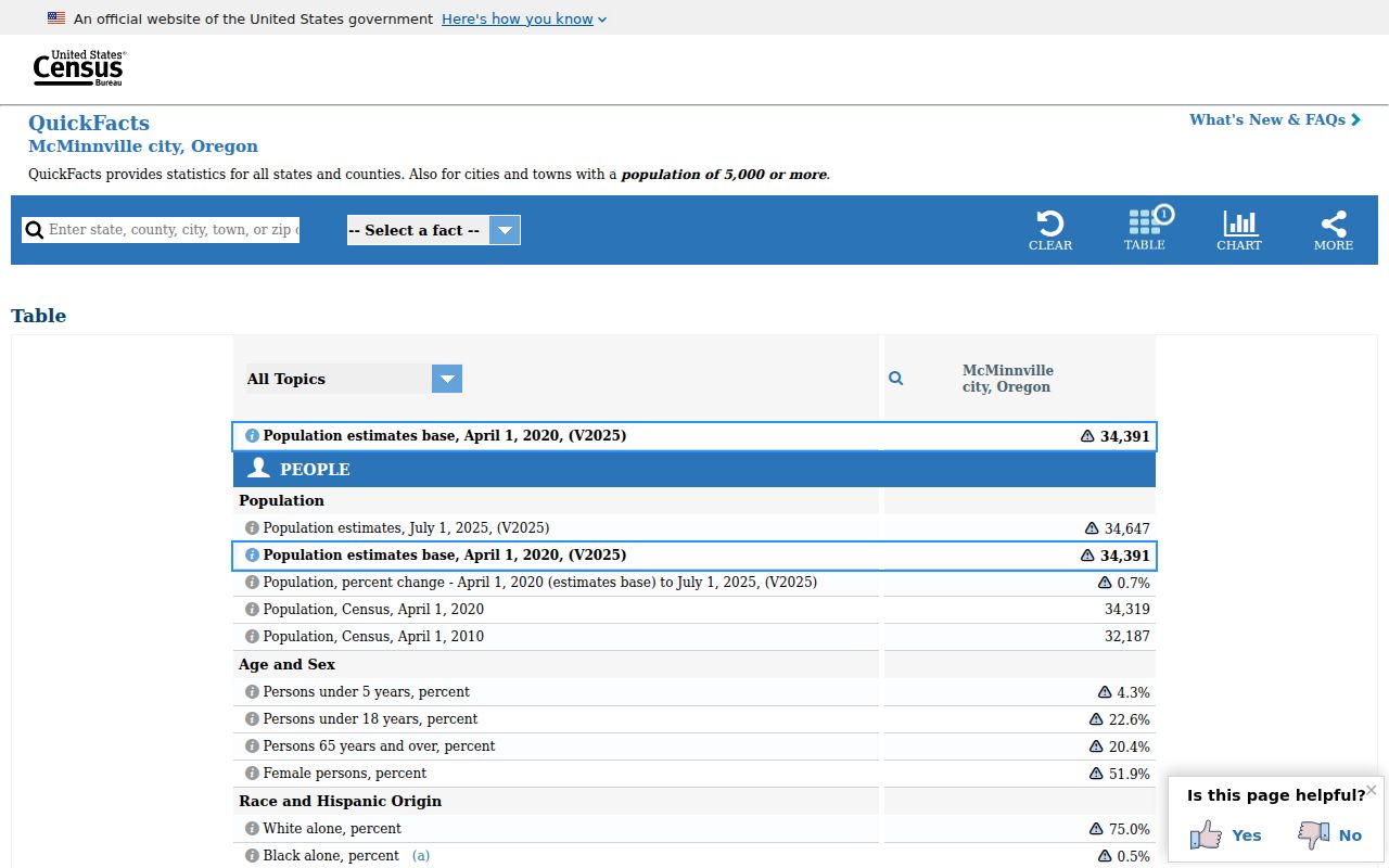
The Census page gives citywide context, while USPS and local custodians remain the right sources for a particular address question.